
Robotic Survey of Sunken Pirate City: Port Royal, Jamaica
Work performed at the University of Michigan
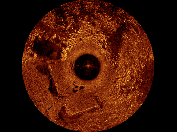
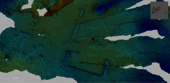
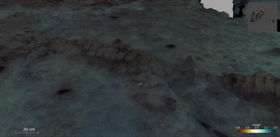
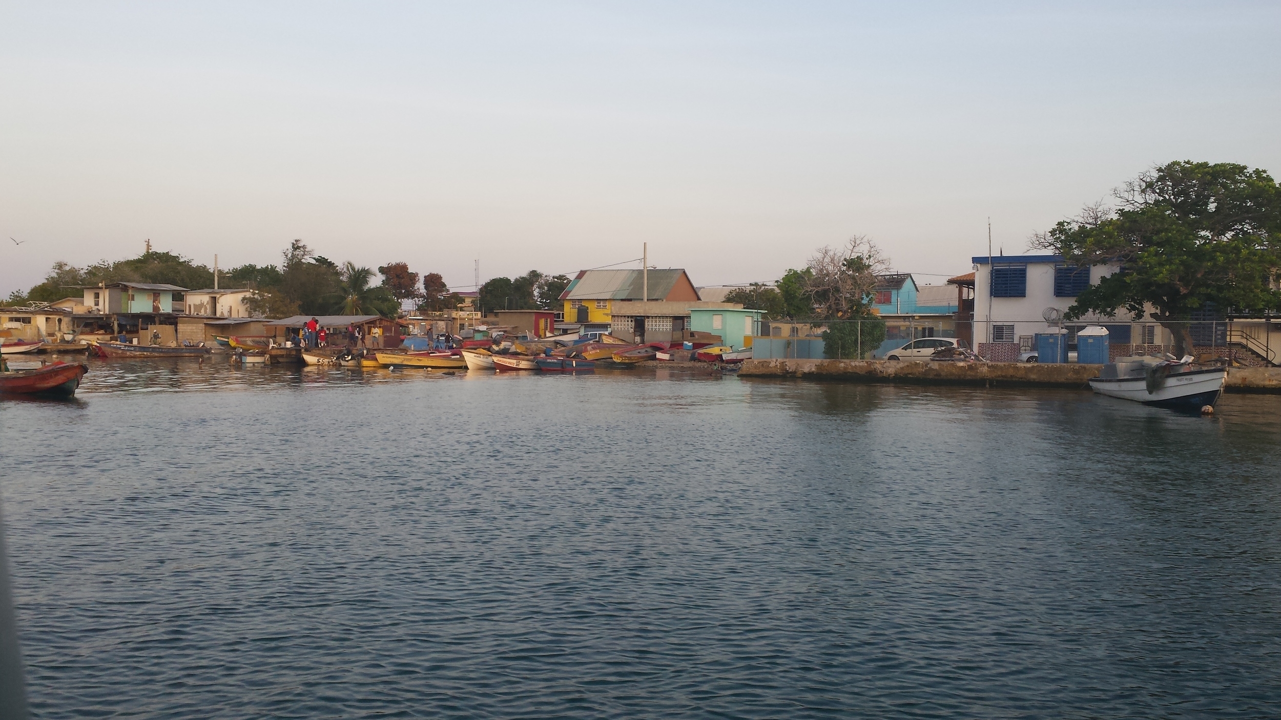
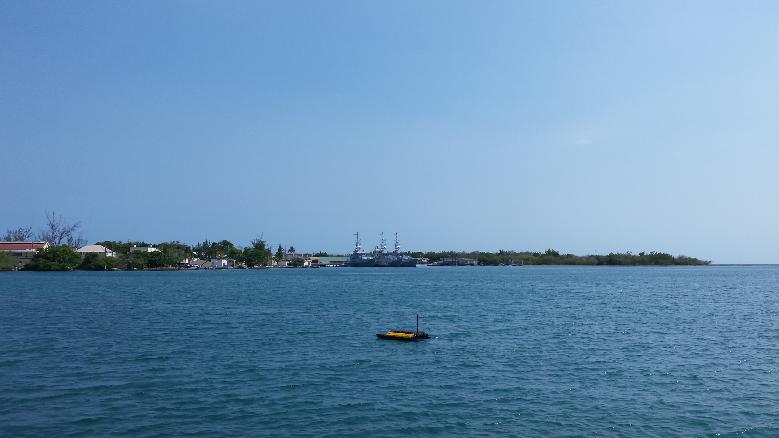
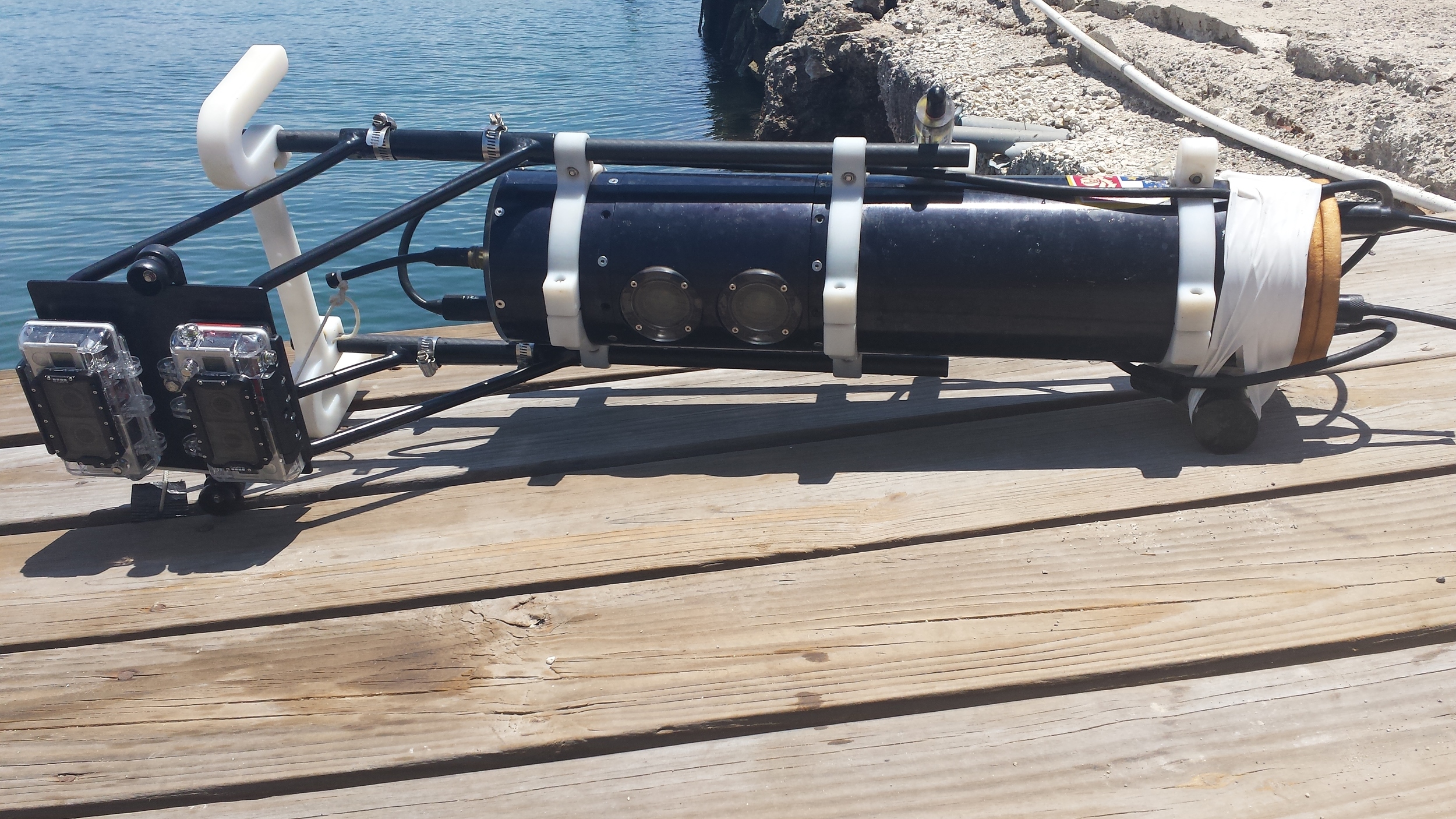
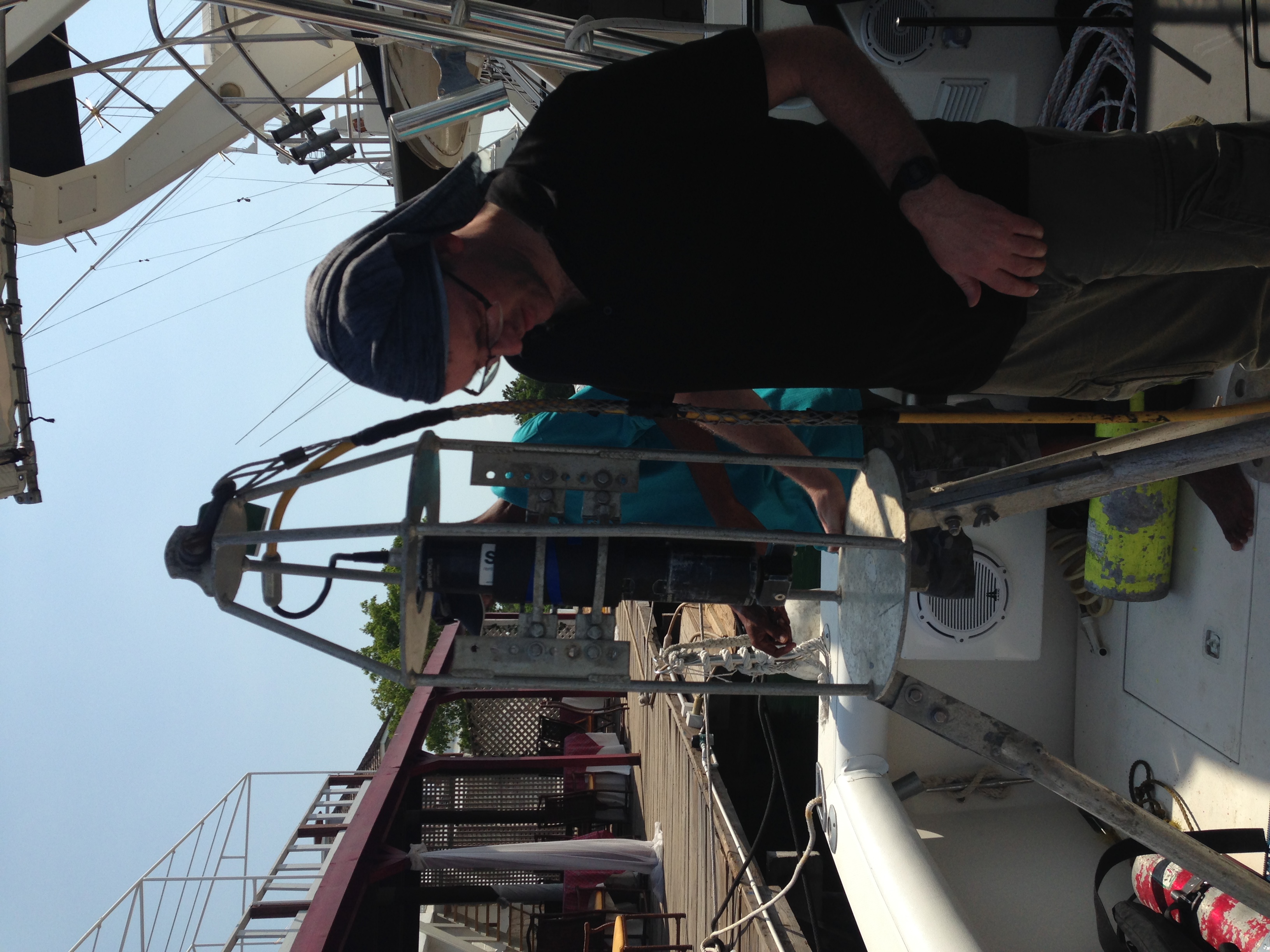
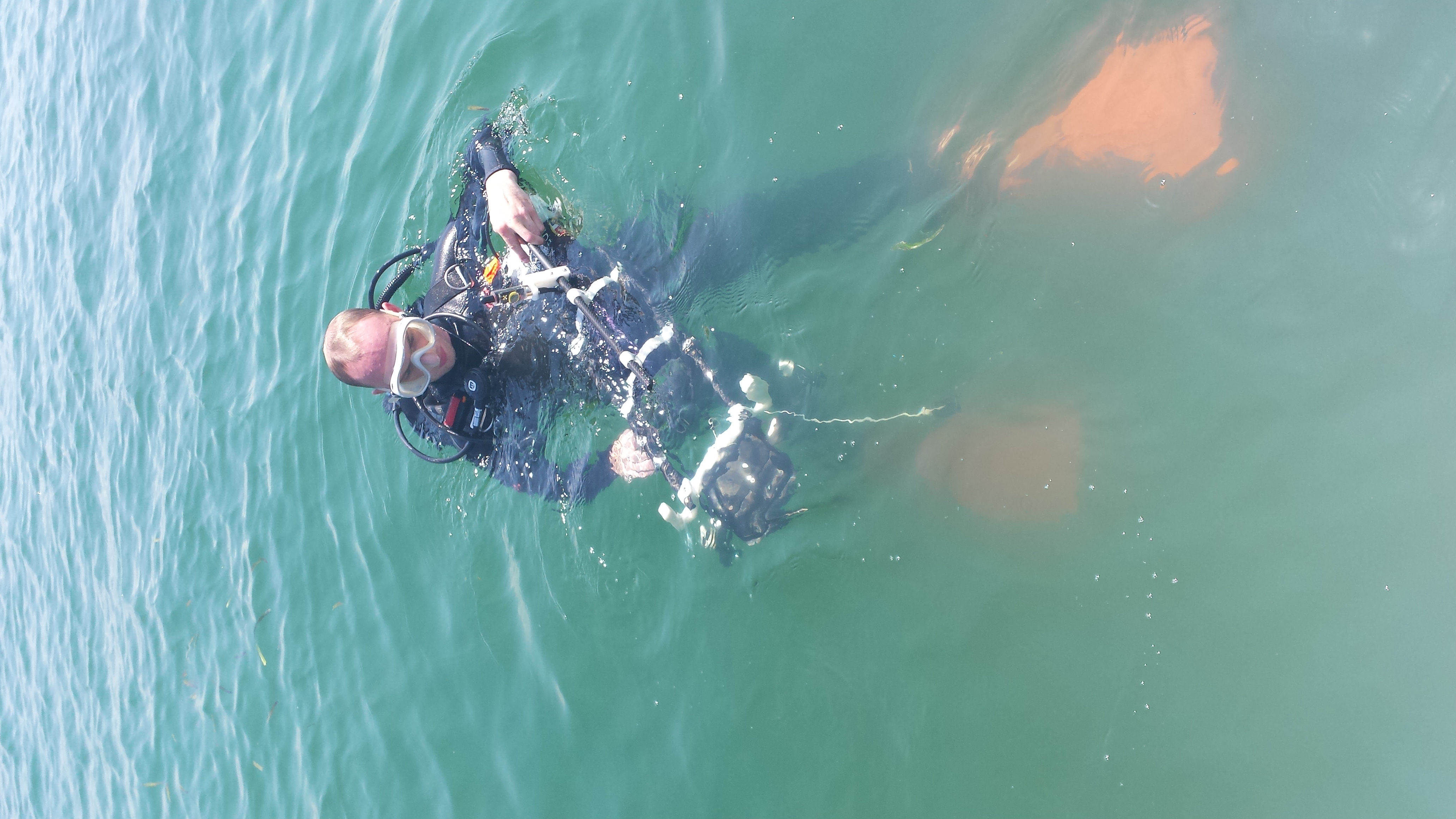
Port Royal, Jamaica was the center of British trade in the New World throughout the 17th century, until an earthquake struck the island on the morning of June 7th, 1692, sinking two-thirds of the city below the surface of the sea. The underwater site covers an area of approximately 6 acres starting from the coastline and extending about 100m into Kingston bay, with most ruins located between 1 and 3 meters below the surface. DROP is leading a two-year project to map the city through state-of-the-art development of marine robotic 3D mapping systems for underwater archaeology. The team employed a new multidimensional approach to surveying a shallow submerged site, using an autonomous surface vehicle (ASV) to conduct a sonar and camera mapping of the site from the water’s surface, a robotic stereo camera rig to conduct a 3D scuba survey of the site’s underwater buildings, and a Sector Scan sonar survey allowing the team to understand the extent of the site using acoustics. The 3D maps reconstructed from these surveys will assist the Jamaican National Heritage Trust with their application to achieve UNESCO world heritage status for the site, helping to advance the cause for world recognition of this spectacular underwater city.
The project is in collaboration with archaeologists at the University of Nottingham, and engineers at the Australian Centre for Field Robotics and the Nautilus Marine Group International, L.L.C., and is funded by NOAA Office of Ocean Exploration and Research’s 2014 Federal Funding Opportunity.
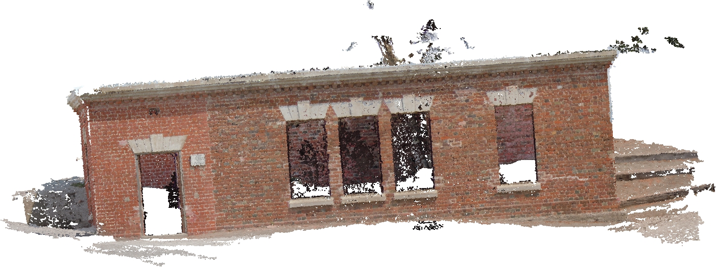
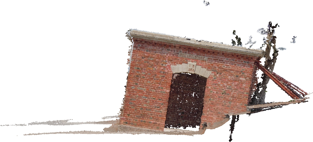
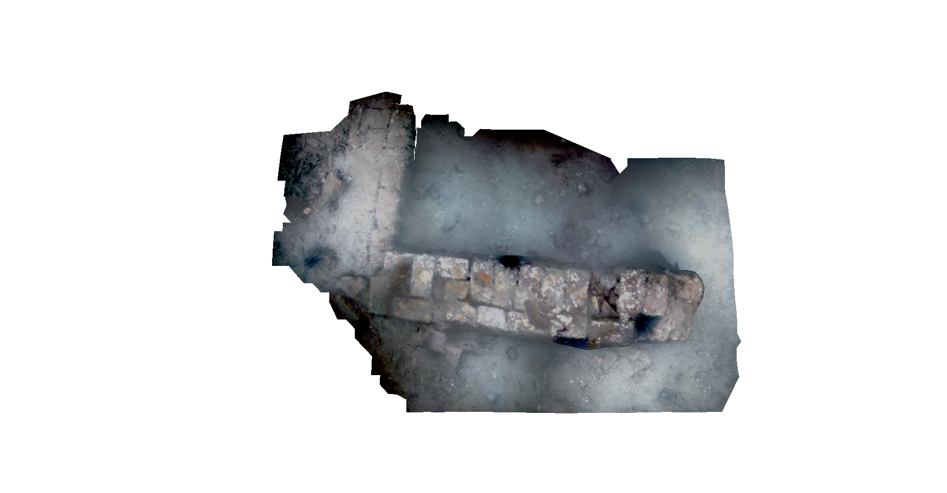
3D Reconstruction